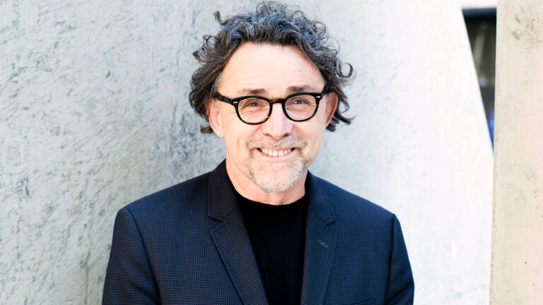
John Wilson uses satellite imaging data and interdisciplinary research to better understand how different systems work together to make a city run. (Photo/Peter Zhaoyu Zhou)
Throwing shade at L.A.: USC researcher measures impact of trees, or the lack of them
USC spatial scientist John Wilson discusses the benefits of more trees in the urban core, the differences between Beverly Hills and Boyle Heights, and how trees will shape L.A.’s future.
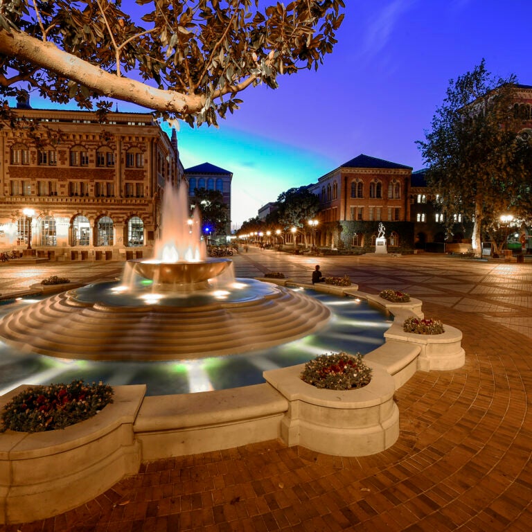
The sprawling hardscape of Los Angeles does not provide many opportunities to escape the ravages of climate change — extreme heat and air pollution thrive in a city crisscrossed by major freeways and extensive development. However, not all Angelenos suffer equally. Some neighborhoods provide oases from adverse conditions, while others suffer from them disproportionately.
An expanded canopy could help with moderating temperatures and decreasing air pollution, says John Wilson, founding director of the Spatial Sciences Institute and principal investigator of the Urban Trees Initiative at USC Dornsife College of Letters, Arts and Sciences. In his research, Wilson utilizes satellite imaging data paired with interdisciplinary research to better understand how different systems work together to make a city run. We spoke with Wilson about his work with the Urban Trees Initiative and how greening the city could fix some of its ills.
What inspired you to research the urban canopy?
The driver here in large measure is inequality. When you think of climate change and global warming, how much different parts of the landscape are going to warm up varies tremendously, particularly in Southern California. In the next 30 years, the everyday temperatures at the coast might not change much, but if we go to downtown and L.A.’s Eastside, the number of 90-degree days are likely to double or triple. What happens if we had 10 days in a row above 90 degrees — how would that impact people’s lives? In thinking about that, the most likely path to being able to address people’s exposure to excess heat would be to improve the urban canopy.
What role does the urban canopy play in worsening equity?
The canopy itself is already inequitable. When you look at the whole of the L.A. Basin, two areas have a lot of trees — Pacific Palisades and Pasadena. One of my PhD students conducted a painstaking study a number of years ago where he looked at changes in tree cover on single-family home lots from 2002-2013. We looked at the 15 council districts in the city of L.A. and tree cover in the next 19 largest cities and, lo and behold, there were tremendous disparities in urban canopy. But when you looked at change, those places that had low canopy to start with had the fastest retreat in terms of percentage of tree cover. In places like Pasadena or Pacific Palisades, there was still a loss of tree cover, but it was slower.
The synopsis was already poor — at-need people and people of color had a lot less benefits from tree canopy than well-to-do people. But we found out the trends were heading in the wrong direction as well.
What role does spatial science play?
Satellites have made an enormous difference to how we can understand and interpret the Earth. We also now have a lot of tools for calculating relationships — where things overlap and where they occur separately — and you can link the two. With urban canopy and the shade it provides, we have been comparing elementary school enrollment areas in terms of the canopy cover. Which schools could benefit the most if we were to plant trees now, 20 years into the future? We’re now looking at the same idea around transit and transit stops with Marlon Boarnet at USC Price School of Public Policy, where we can see how the green canopy changes ridership.
Lately, I’ve compared two places named BH — Beverly Hills and Boyle Heights. I have two graphs that show distribution of green cover versus hardscape. On the side measuring hardscape, Boyle Heights and Beverly Hills look almost identical — lots of buildings, lots of streets. The difference comes when you look at the side of the graph where you would expect green infrastructure. Beverly Hills has a huge spike, while Boyle Heights has none. Beverly Hills has a huge spike because there are large properties with lots of green cover that isn’t even seasonal, it’s year-round. When you look at Boyle Heights, it just fades away to nothing.
How do you determine what areas would benefit the most from an expanded canopy?
We developed a careful catalog of what trees comprise the existing canopy, where it is and its benefits and what fraction of the people gain any benefit from this tree canopy. In Boyle Heights, there’s about 90,000 residents and only about 25,000 trees. What my group is developing is a three-dimensional shade model utilizing GIS so that we could capture the likely benefits in terms of heat mitigation. We can run scenarios where we add 20% to the canopy and find what that would mean for people’s everyday lives in terms of cooling.
With so few trees and such poor transportation options, it’s really difficult to find some relief from the heat.
John Wilson, spatial scientist
For instance, roughly 20% of households have no car, so they’re either walking or they’re on transit. That means they don’t have the opportunity to do what I might do on a smoking hot day and go to the beach for the day. It’s easy for me because I have a car, but the trip for them would likely be more than two hours each way and they’re limited to wherever the bus stops are located. With so few trees and such poor transportation options, it’s really difficult to find some relief from the heat — which will have some negative impacts on their everyday health and well-being.
Can trees bear the load and remove the carbon?
We’re closely looking at the potential for using canopy to mitigate air pollution. While across the L.A. Basin air pollution has improved over the last 50 years, there are still lots of problems on busy roads and next to freeways. Thinking of the Eastside, you have the 10 cutting these neighborhoods in half, the 5 to the west — and Boyle Heights has both of those conditions, plus the 60 and the 101 go through it as well. The busiest intersection in the United States is in Boyle Heights. We’ve found there’s very little scientific literature about how well specific configurations and species of trees can take pollutants out of the atmosphere, particulate matter in particular. As a result, we’ve been working with Will Berelson in the Earth Sciences department at Dornsife to investigate ways to put air quality monitors in trees.


